

The black willow trees and muddy ground rising above the water on the edge of the Gulf of Mexico can feel almost primordial — wild, untouched land as old as Louisiana itself.
It isn’t. Far from it, in fact. The swampy islands stretching out like misshapen cigars along Louisiana’s central coast are younger than many people alive today.
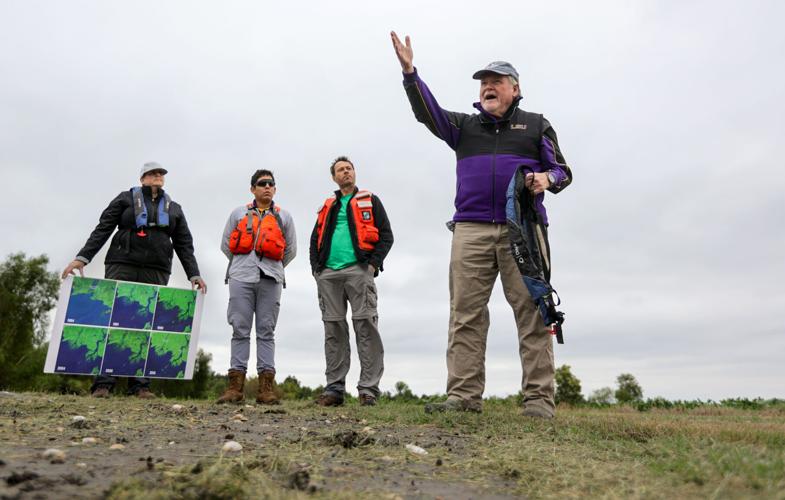
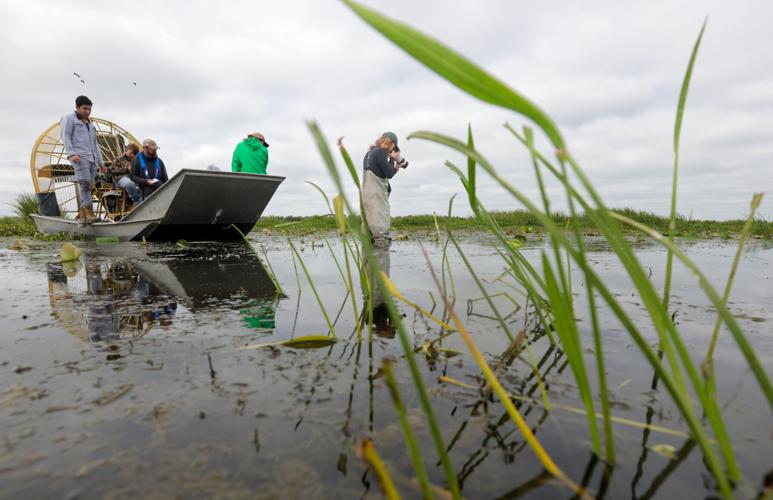
“This is where the textbook of deltas has been written,” Robert Twilley, an LSU vice president who has long studied the area, said in the cool air of a recent morning as he stood atop the mud of a campground popular with duck hunters.
“There's a lot of geology on deltas, but actually seeing a real delta born and develop was pretty historical.”

Robert Twilley, vice president for research and economic development at Louisiana State University, right, speaks to members of the media during a tour of the Wax Lake Delta in St. Mary Parish, Thursday, October 12, 2023. (Photo by Brett Duke, The Times-Picayune)
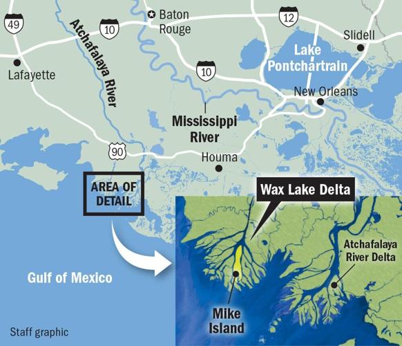
This year marks the 50th anniversary of flooding that led to the emergence of some of Louisiana’s youngest land, the result of both natural and unnatural processes forming a new delta southwest of Morgan City in St. Mary Parish.
The Wax Lake Delta that began peeking above the waters back then is rare good news in the state’s struggles to address its rapidly disappearing coast: Land is not being lost there, but gained.
It is an extraordinary process to envision, and for the state’s coastal restoration officials, there is also a larger conclusion to draw.
They point to it as living testimony of why their plans for manmade Mississippi River diversions elsewhere in the state offer a degree of hope for Louisiana’s land loss challenges, even while acknowledging that those projects will fall far short of solving the crisis.
Not everyone agrees with the plans given the risks the diversions will bring to commercial anglers’ livelihoods and their traditional coastal communities, as well as the exorbitant costs of building them.
Still, the Wax Lake Delta illustrates a basic principle of Louisiana’s coast: It is a constant work in progress, interfered with by human needs and endeavors.
“Things are growing here,” Bren Haase, chair of the state’s Coastal Protection and Restoration Authority, said during a recent visit to the delta to mark its 50 years of existence. “And that supports all kinds of things — fish, wildlife, ducks, waterfowl.”
Haase added: “It's because of the energy that the river is pumping into this place.”
‘Popsicle sticks’
The delta’s distributaries spread out like the roots of a tree, and the land there grows as incrementally as one.
Estimates from about a decade ago put the size of the above-surface land there at around 20 square miles, though it is growing at a rate of roughly a square mile per year.

It is the result of sediment tumbling down the Mississippi and diverting into the Atchafalaya River through a huge, manmade structure. That structure — the Old River Control Structure, completed in the 1960s — was not built with the idea of constructing a delta, but to manage the flow of the Mississippi and keep it from changing course.
The Atchafalaya mixes with more sediment from the Red River and partially flows down a manmade channel, the Wax Lake Outlet, built in 1941 to combat flooding.
Finally, where the outlet meets the Gulf, sediment gathers and slowly forms new land all on its own. It happens to be how much of south Louisiana was built in the first place, a process now prevented by the construction of the levees that keep the Mississippi in place.
The new delta is being closely studied given the unique circumstances of its formation. NASA is even using Wax Lake to calibrate censors to monitor deltas worldwide, said Twilley.
The state is applying with NOAA to have the larger Atchafalaya area named a National Estuarine Research Reserve. That would make it eligible for federal funding for further study and management, said Michelle Felterman, Atchafalaya Basin program manager for the state’s coastal authority.
It is already part of the state’s Atchafalaya Delta Wildlife Management Area, and duck hunters know it well.
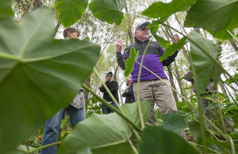
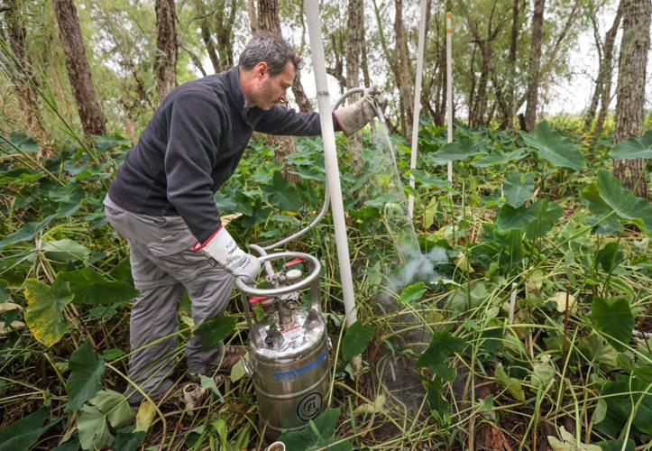
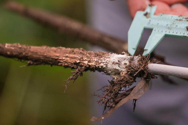
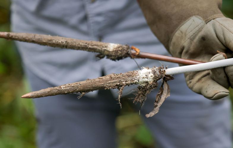
Among the willow trees of the delta’s Mike Island — which only emerged in 1985 — Twilley and his team demonstrated how they measure land growth there. The unique process involves liquid nitrogen injected into the ground to freeze a small soil sample that Twilley calls “popsicle sticks.”
Chalk-colored feldspar spread over part of the soil a couple years earlier provides a marker, allowing the amount of accumulation since it was put down to be calculated from the sample.

Andre Rovai, of the U.S. Army Engineer Research and Development Center, uses liquid nitrogen to freeze samples of the ground on Mike Island, part of the Wax Lake Delta in St. Mary Parish, Thursday, October 12, 2023. (Photo by Brett Duke, The Times-Picayune)
Andre Rovai, a research ecologist with the Army Corps of Engineers' Engineer Research and Development Center, and Ivan Vargas, a post-doctoral researcher at LSU, pulled the sample and measured the growth at about 1-2 centimeters over the past couple years.
That growth can increase dramatically during high river years, such as in 2018-19, when 12 centimeters built up, Twilley said.
The delta emerged in 1973 in similar conditions. High river waters brought down lots more sediment, and the land that had been building up slowly below the water’s surface popped above it due to the infusion.
‘Known around the world’
State officials are hoping for a similar result with large-scale diversions on the west and east banks of the Mississippi. An important difference is that the new diversions will be designed specifically to funnel sediment for land-building purposes, while the Wax Lake Outlet was built for other reasons, with the new wetlands a welcomed accident.
The Mid-Barataria Sediment Diversion, which broke ground in August, is projected to build around 21 square miles of land in the Barataria Basin over 50 years. It is being paid for with settlement money linked to the 2010 BP oil spill, but the price is nonetheless eye-popping at $2.9 billion.
That amounts to roughly $138 million per square mile of land built, though the diversion is likely to remain effective beyond the 50-year initial timeframe. State officials are quick to argue that, essentially, Louisiana has little choice given the scale of the crisis, especially given the protection such wetlands can provide from storm surge and their benefits to the overall ecosystem.
The Mid-Breton diversion on the river’s east bank would be similar, though about a third smaller in scale. Final permits aren’t expected for it until 2026.
Some $378 million is budgeted to assist those who will be impacted by Mid-Barataria, but fishing communities remain strongly opposed. The fresh water will ruin the commercial oyster and shrimp industries in areas of the diversion, forcing commercial anglers to move.

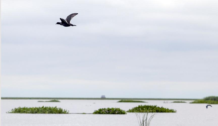
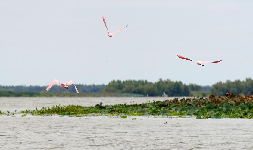
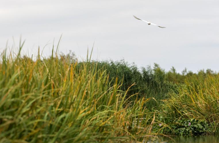
Birds fly in the Wax Lake Delta in St. Mary Parish, Thursday, October 12, 2023. (Photo by Brett Duke, The Times-Picayune)
Some have also argued that more effort should be put into looking at how to move vulnerable communities further inland as climate change fuels sea level rise and causes hurricanes to intensify.
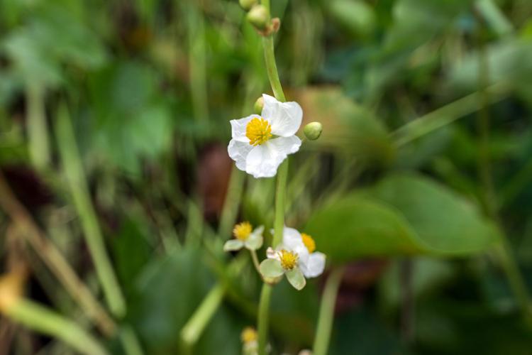
Regardless, the Wax Lake Delta and Mike Island are prime lessons in Louisiana geography. The willow trees end as the island extends back into its newer sections and give way to waterlogged marsh covered in roseau cane and elephant ear.
It’s exactly what many people think of when they imagine the swampy mysteriousness of south Louisiana. The catch is that it’s all relatively brand new.
“It's been a historical research site known around the world,” Twilley said.

